Map
Björndalen - Möckelhult - Lermon, Tjustleden etapp 8
Västervik, Kalmar län och Öland
Categories
Hiking
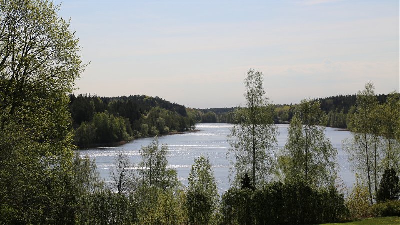
**Stage eight of the Tjust Trail runs between Björndalen and Lermon and is about 15 km long with fairly hilly terrain as it crosses rift valleys.
**Stage description, from south to north (Björndalen to Lermon)
Stage 8 was completed in the fall of 1985. The stage crosses our village's northwest/southeast lying rift valleys and is therefore quite hilly, mainly in the south. To the north, the trail follows easy paths and gravel roads but becomes hilly again before reaching the large valley basin Uknadalen on stage 9. The connecting trail to Överum is very hilly for the first two km but becomes flatter closer to Överum. Through its strongly hilly character, the stage becomes exciting and offers nice views and interesting passages.
The stage starts in Björndalen where you will find an interesting deciduous forest slope. In the favored southern position, heat-demanding plants thrive and there grows a deciduous forest with, among other things, ash, linden and elm. In the grove vegetation you can find ivy, lungwort, musk madder, tibast and many other species. On the northeastern slope of Björndalen you can see traces of mining. From the trail, only about 300 meters from the shelter, a short detour is marked to a mine shaft. This is called "Björndalens skärpning" and in 1917 550 tons were mined here but of this only 34 tons were ore. This sulphide ore contained 0.9 percent molybdenum luster. The trail continues on a nice old road up behind the steep mountain on the north side of Stora Vrången. The trail has been pulled out onto the mountain in a couple of places and you get nice views. Notice the large oak and conifer trees, especially just before you have walked about 2 kilometers. On a mountain plateau, a strange "split" pine has been saved. It starts at the ground with one trunk, turns into two completely separate ones but at about 3 meters height merges again into a single trunk! The connecting trail to Överum goes through biotope-protected old forest before it reaches the bridge over the strait between the Vrången lakes, then through woodland and road to the community.
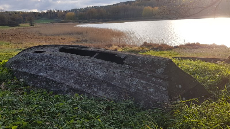
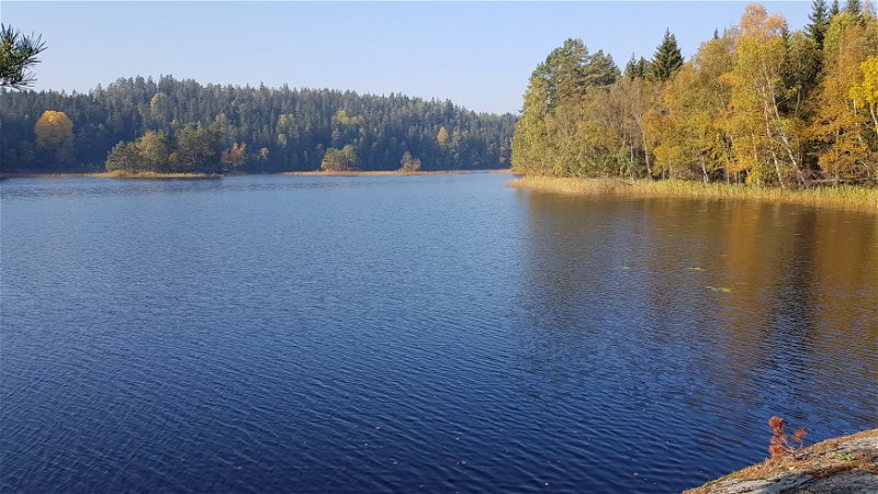
After about 8 kilometers, the trail goes through a grazed deciduous forest area with large trees such as lime, ash, elm and oxel. North of Lake Ämten you walk in a meadow and field landscape that is now kept open by grazing. At Botorp you will find a living agricultural landscape. The main trail continues to the northeast and passes several lakes. Adjacent to the trail are several deciduous forest areas. The trail passes Botorp and continues on small roads to Lake Lermon, which is the final destination of the stage. The shelter is located on a promontory by the lake, where the common loon can call in the summer night.
Text: The Nature Conservation Association in Tjust
Facts
Lead agency: Naturskyddsföreningen i Tjust, tjust.naturskyddsforeningen.se/
Marking: Orange rings around tree trunks and on stakes and arrows (according to Swedish standards)
Overnight stay: Yes, in timbered shelters
Sanitary: TC, waste bin at each stage destination


